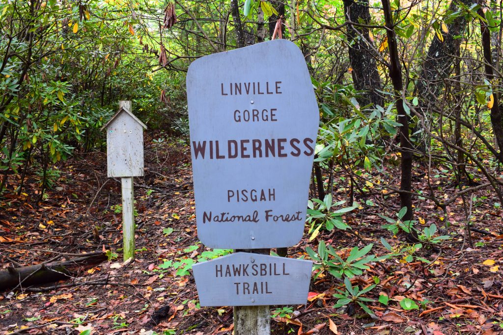
Hawksbill Mountain
Hawksbill Mountain is a fantastic hike… but don’t expect an easy stroll to the top. The trail is 2.1 miles to the top and the rise is over 600 feet. It is a maintained trail but not wide and spacious. For the most part, it is just a little more than a footpath with mud, roots and limbs.
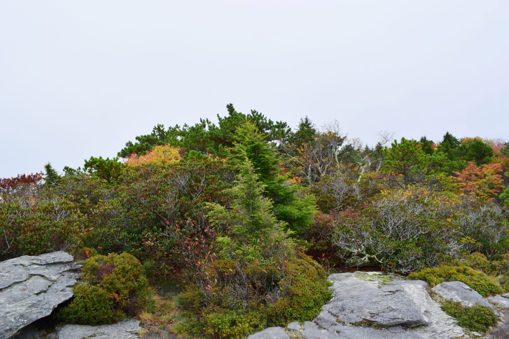
As you ascend you are surrounded by thick forest. On the trail there are a variety of interesting flowers, insects and small animals.
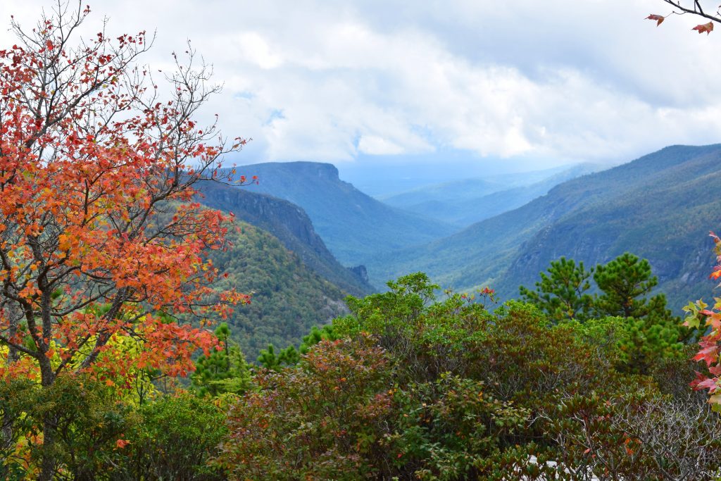
About a third of the way up, there is a beautiful overlook giving you a view of the tops of the smaller rolling mountains.
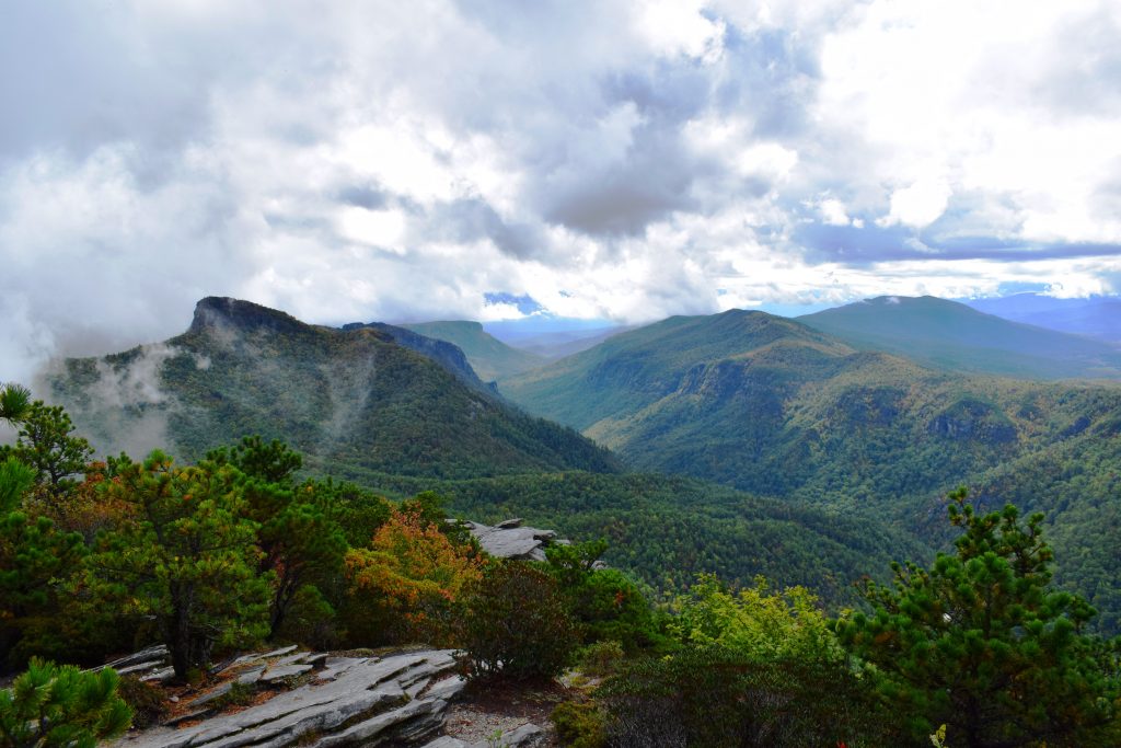
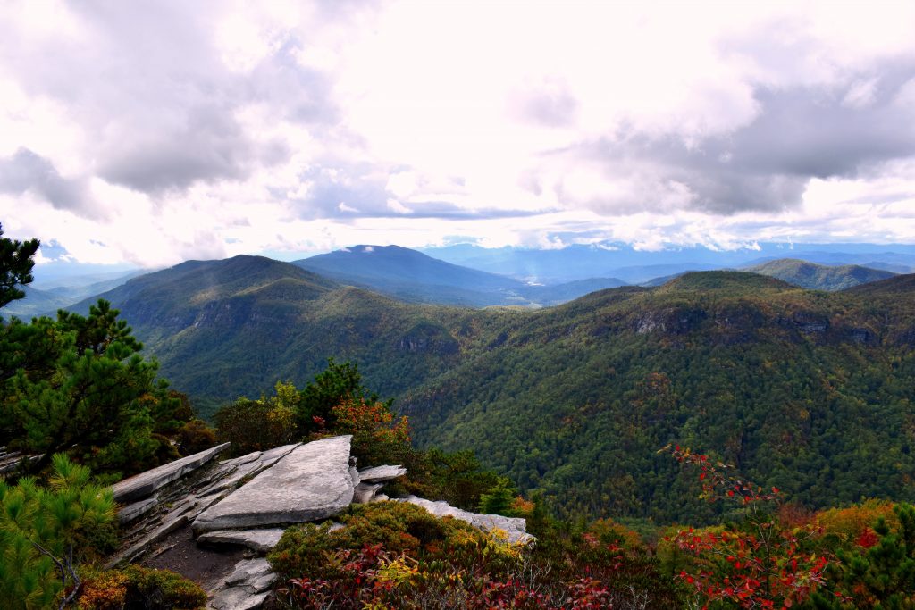
The hike is not too bad but does turn more vertical near the top. It can be difficult if you aren’t used to hiking or the altitude. Don’t let this stop you. When you reach the peak and sit there awe, gazing into the open vastness looking down on the clouds and the valley stretching to the horizon, you will feel that it was worth the effort.
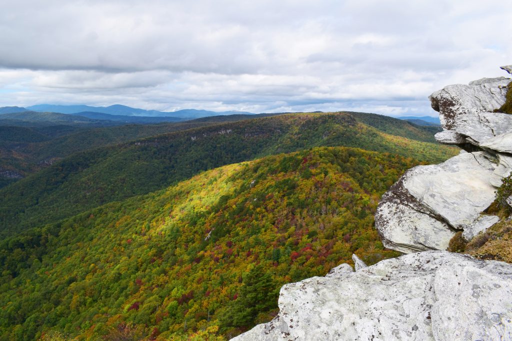
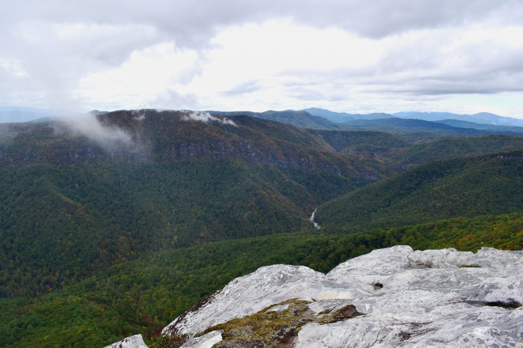
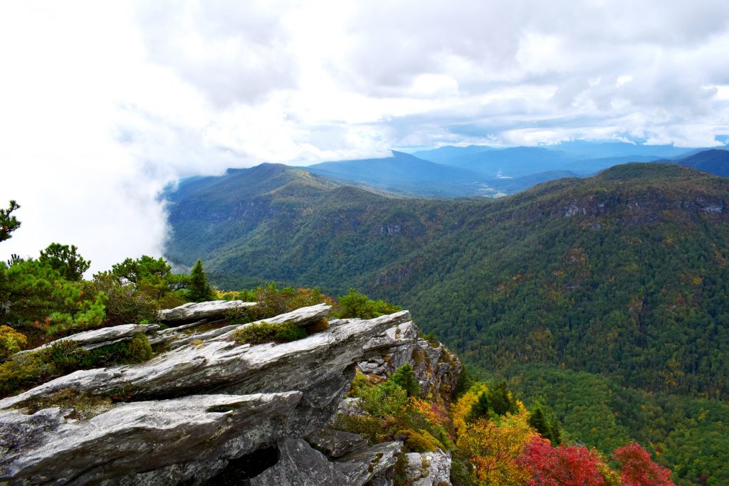
At the top of the mountain, the trail will open up into a clearing. Continue across the clearing and through the trees. It opens up to a beautiful valley with mountains as far as you can see. This is where everyone goes. However, when you reach the clearing there is a secluded path on the right. Follow this path and you will come out on a huge rock formation that allows you to see, not only the river valley but also the other side of the mountain, from where you hiked.
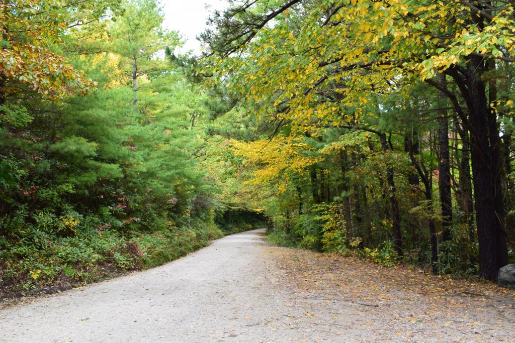
One key point to remember is, Gingercake Rd. goes through a neighborhood and turns into Table Rock Rd. The pavement will end and a gravel road begins with Table Rock Road. From this point it should be 3.5 miles.